Log in
All resources
Create a design
40,209 Free Images of Engraved Maps
maps made in the 17th century
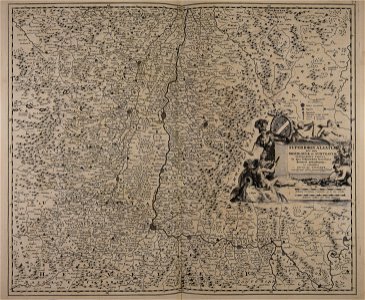
atlantis magni tomus tertius (biblioteca comunale di trento)
maps by pieter schenk (i)
maps of catholic dioceses of france
old maps published in the gallia christiana
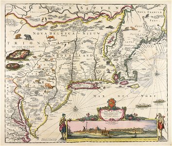
maps by nicolaes visscher i
pennsylvania
maps in the library of congress
maps made in the 18th century
atlantis magni tomus quintus (biblioteca comunale di trento)
maps of paris by braun & hogenberg
maps of paris from paris musées
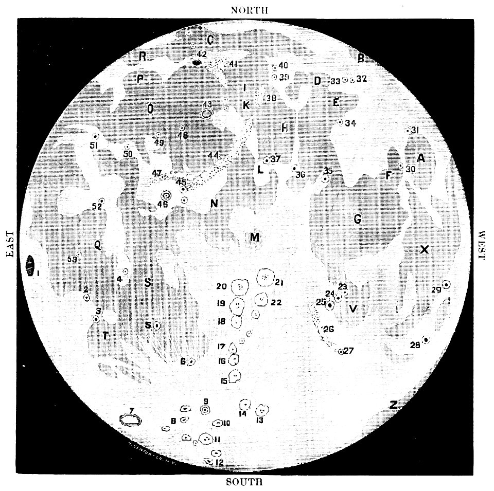
old maps of the moon
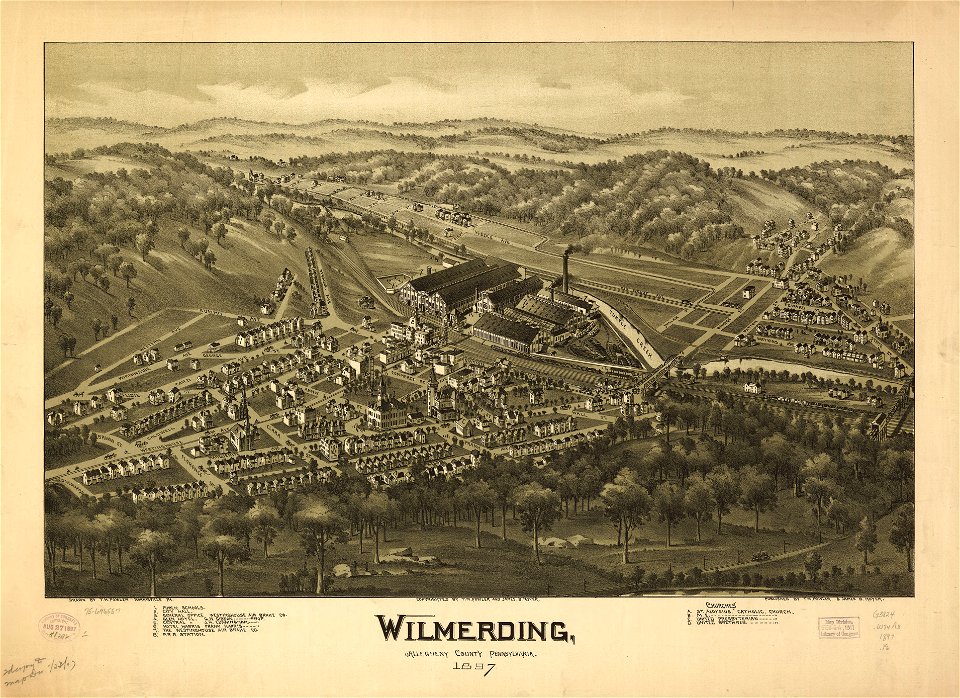
1887 maps
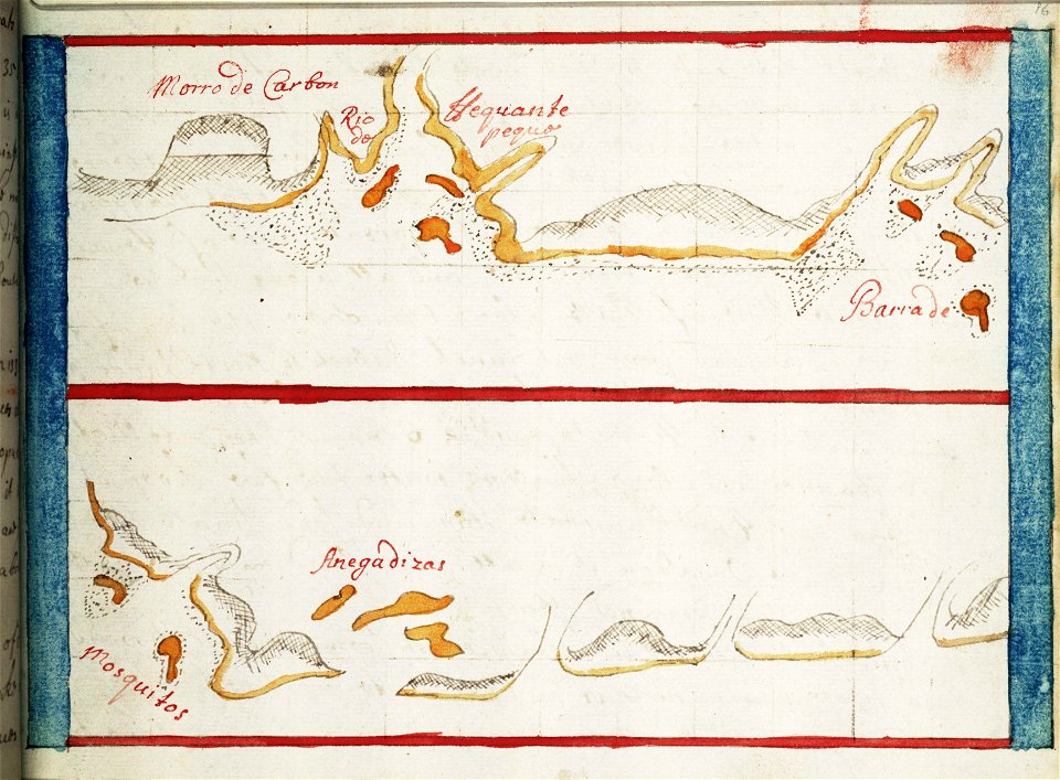
16th-century maps of the caribbean
theodor de bry
lucas janszoon waghenaer
1588 maps
lincolnshire
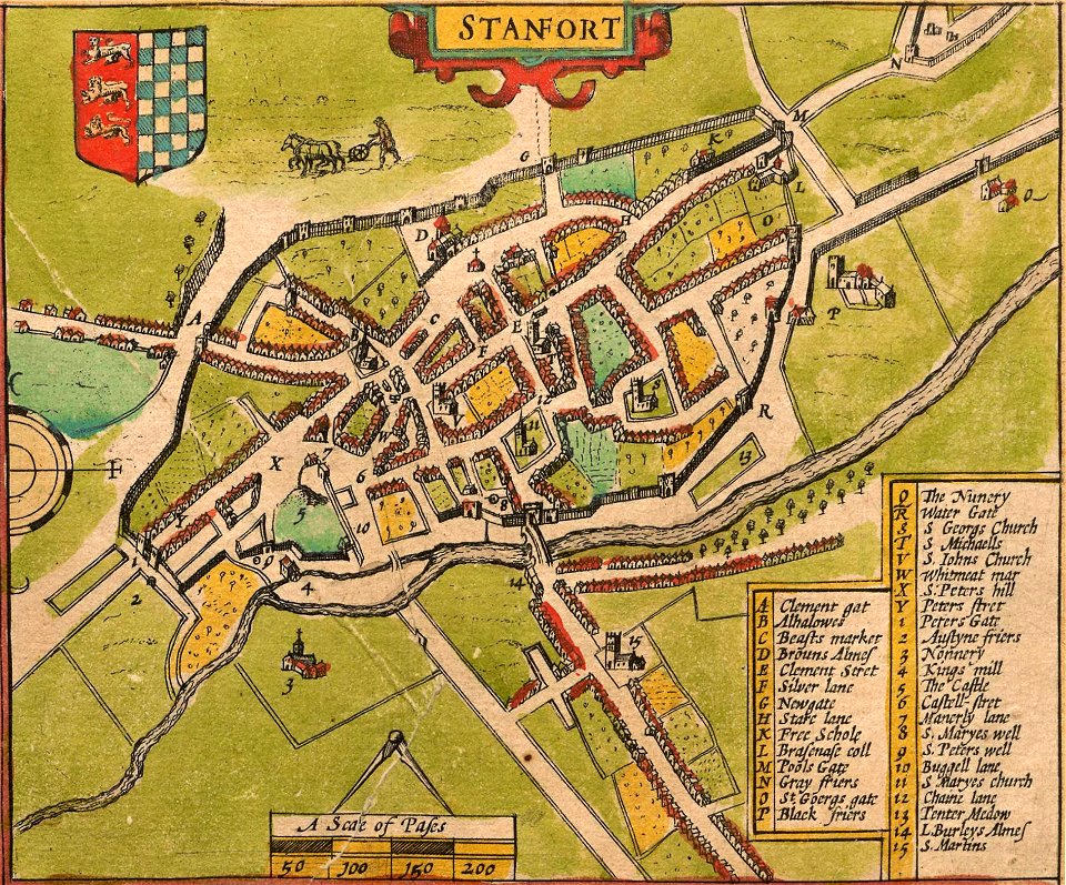
stamford
pennsylvania
sheffield
pennsylvania
sheffield
provided by landsbókasafn íslands
maps by giacomo gastaldi
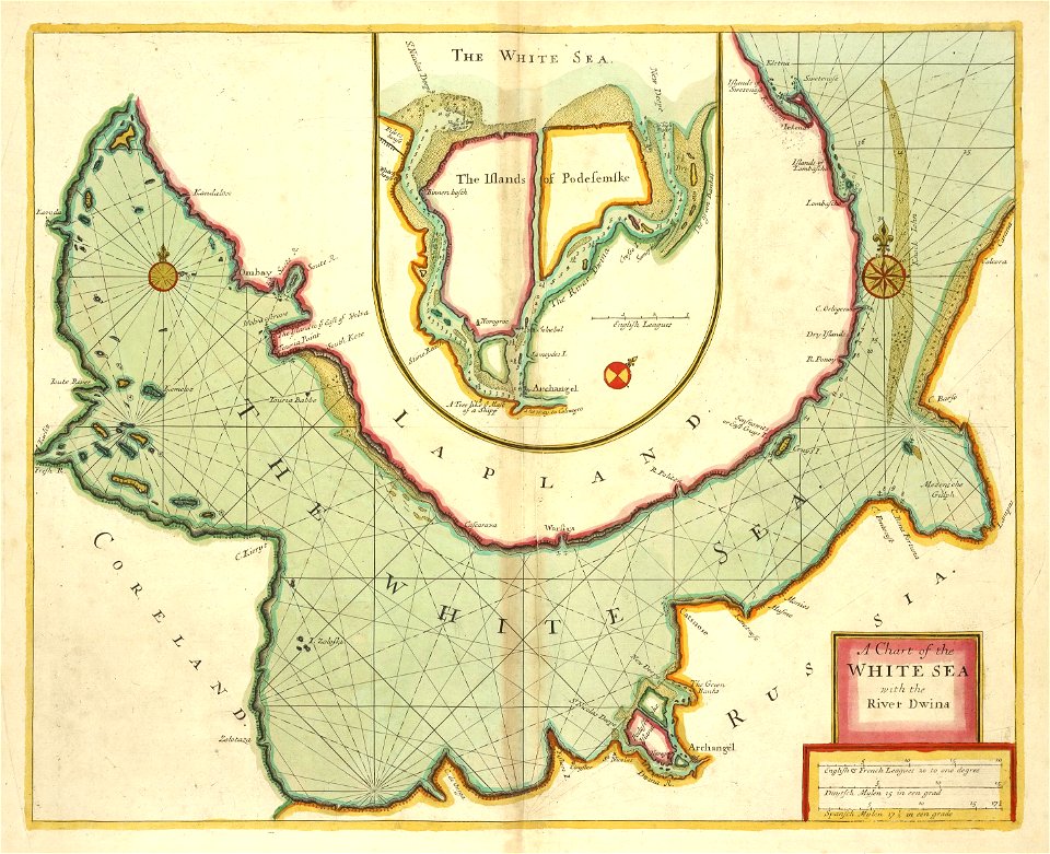
charts and maps of the royal museums greenwich
1682 maps
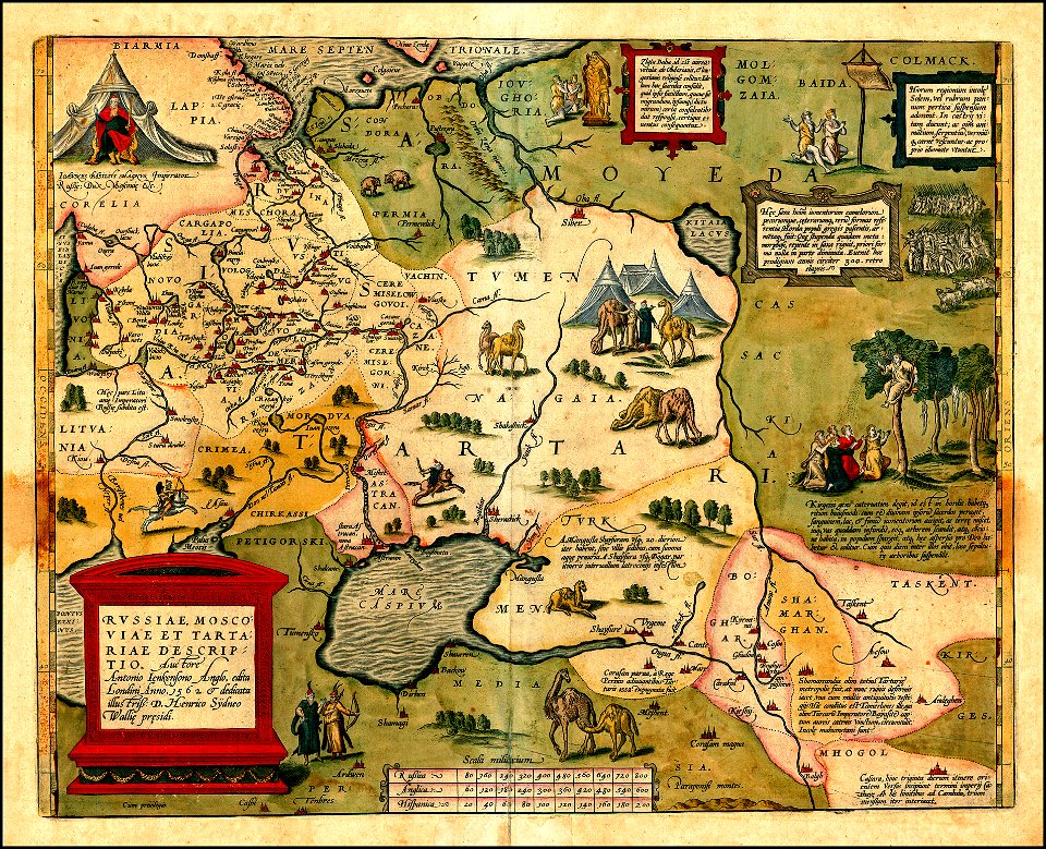
atlas of the russian empire (1800)
maps of volyn governorate
national atlas maps of occupied ryukyu islands
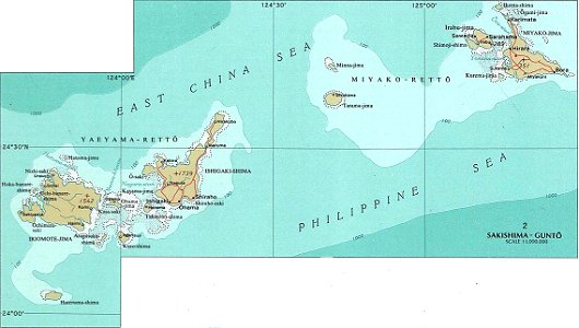
maps of sakishima islands
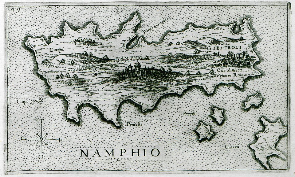
old maps of islands of the aegean sea
giuseppe rosaccio
maps by willem and johannes blaeu
atlas van loon
maps of paris by braun & hogenberg
maps of paris from paris musées
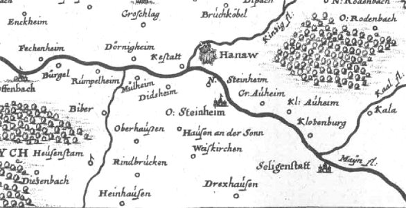
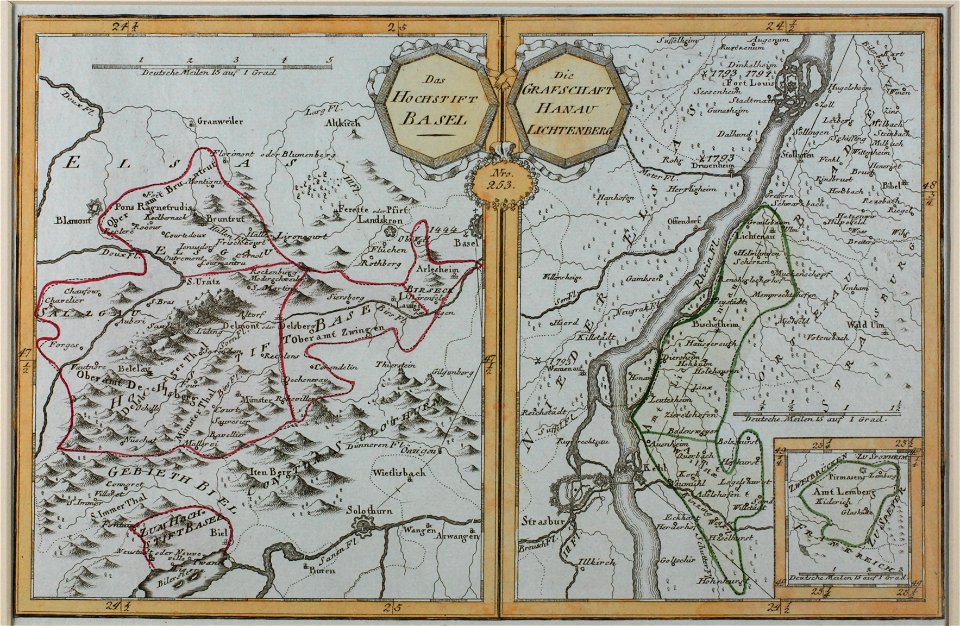
offenbach-bieber
maps of hanau
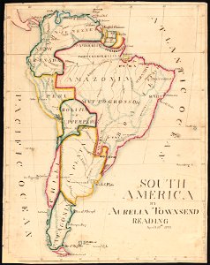
aurelia townsend herrick
1831 maps
pennsylvania
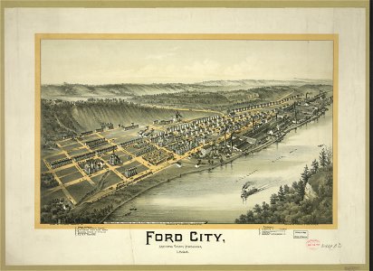
ford city
maps by willem and johannes blaeu
atlas van loon
maps in the library of congress
pennsylvania
historical images of solothurn
old maps of switzerland
maps in the library of congress
pennsylvania
maps in the library of congress
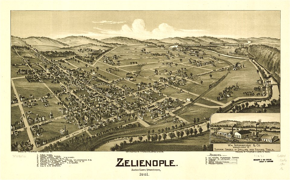
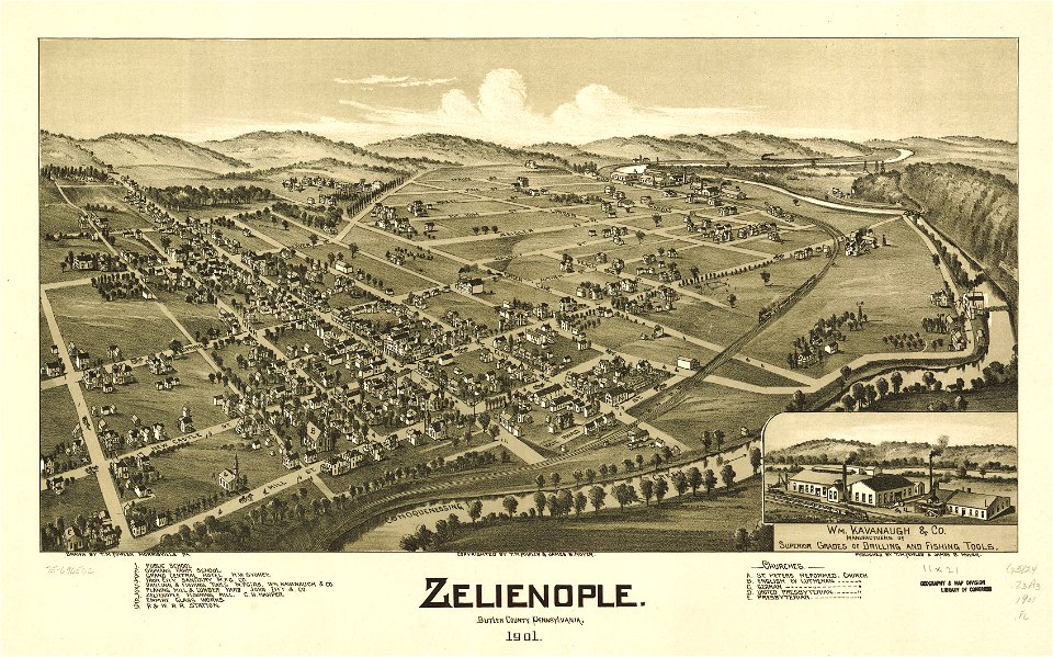
pennsylvania
pennsylvania
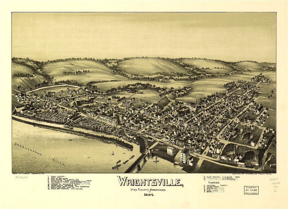
wrightsville
pennsylvania
wrightsville
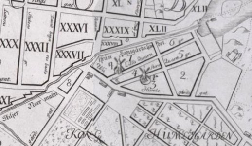
windmills in stockholm
maps of östermalm
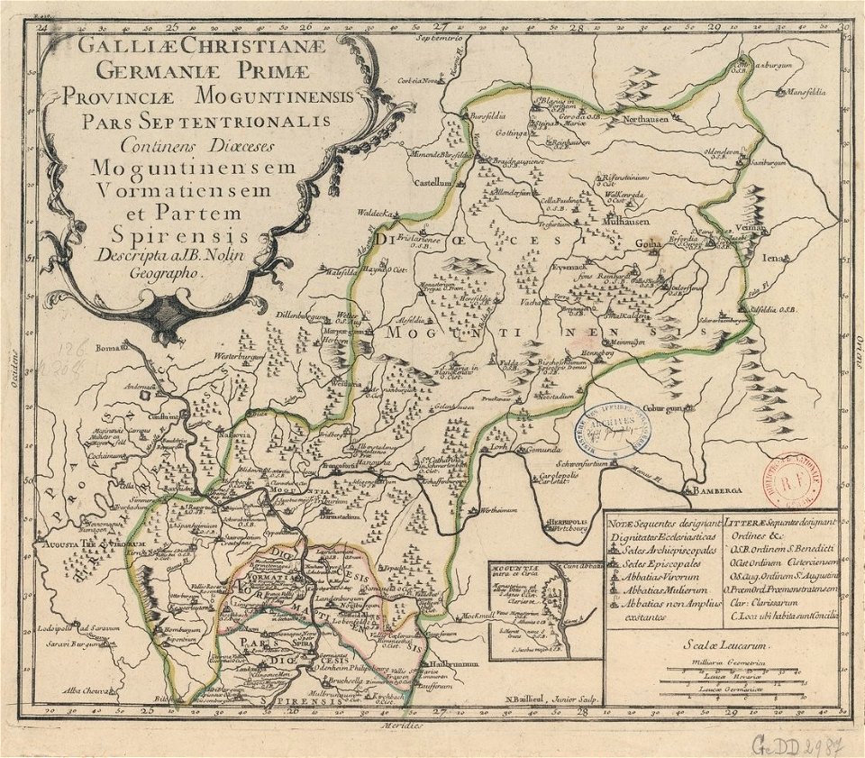
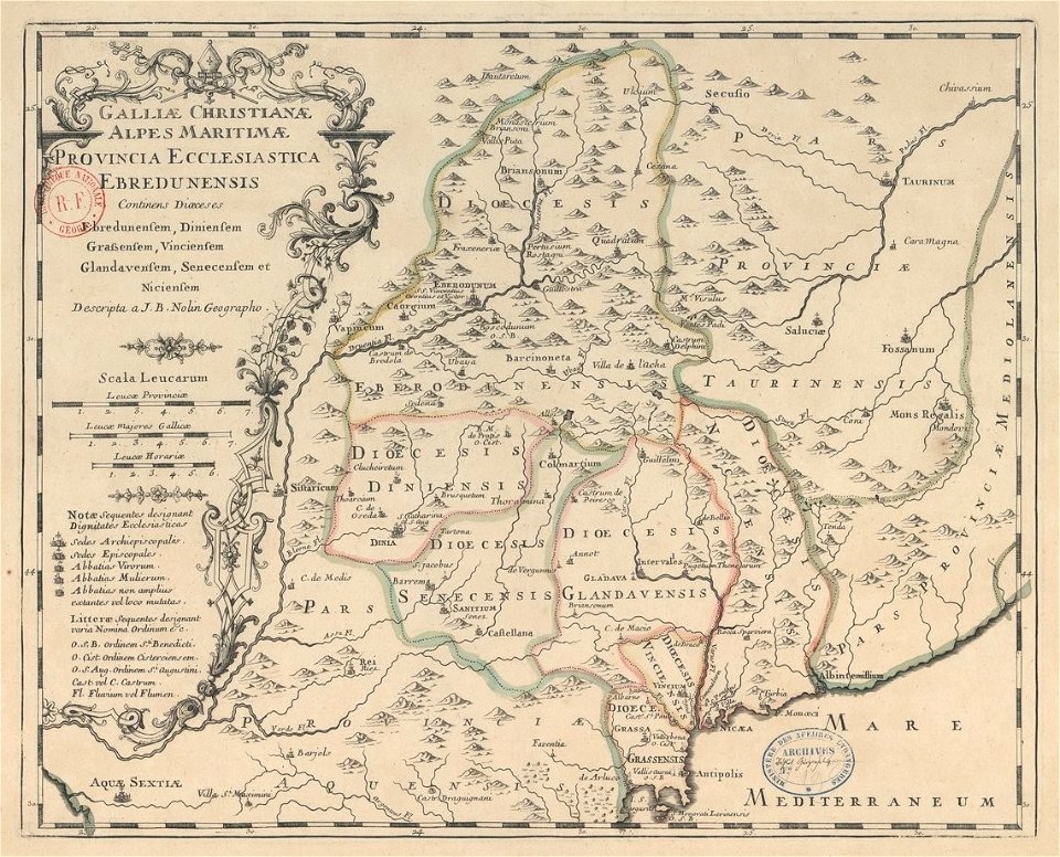
old maps published in the gallia christiana
maps of catholic dioceses of france
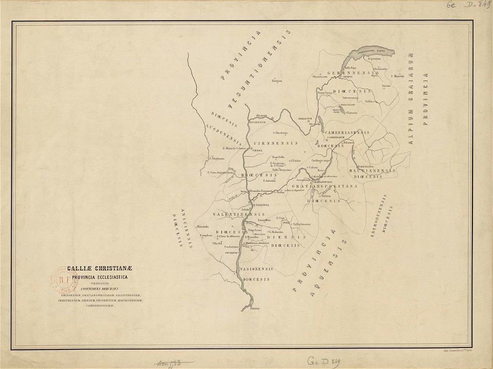
old maps published in the gallia christiana
maps of catholic dioceses of france
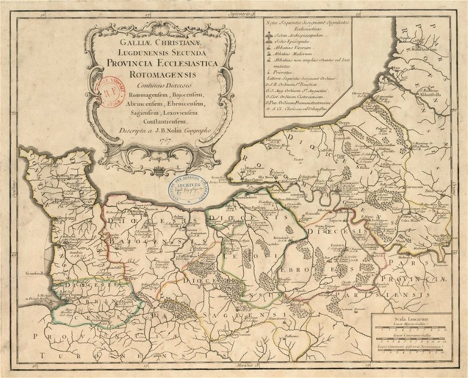
old maps published in the gallia christiana
maps of catholic dioceses of france
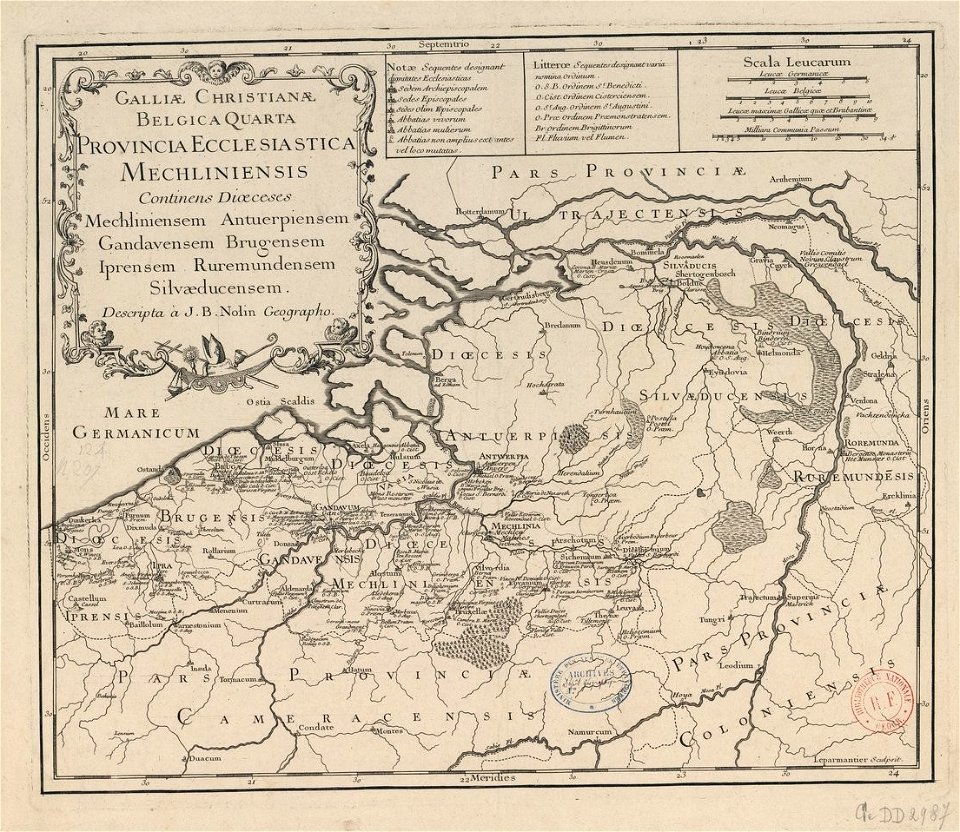
old maps published in the gallia christiana
maps of catholic dioceses of france
old maps published in the gallia christiana
maps of catholic dioceses of france
old maps published in the gallia christiana
maps of catholic dioceses of france
old maps published in the gallia christiana
maps of catholic dioceses of france
old maps published in the gallia christiana
maps of catholic dioceses of france
old maps published in the gallia christiana
maps of catholic dioceses of france
old maps published in the gallia christiana
maps of catholic dioceses of france
old maps published in the gallia christiana
maps of catholic dioceses of france
atlantis magni tomus quintus (biblioteca comunale di trento)
maps made in the 18th century
fonds ancely - bibliothèque municipale de toulouse - maps
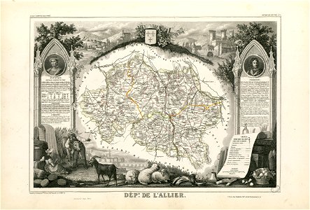
coats of arms of cities in allier
fonds ancely - bibliothèque municipale de toulouse - maps
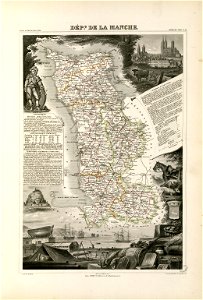
coats of arms of cities in manche
coats of arms of cities in eure
old maps of eure
fonds ancely - bibliothèque municipale de toulouse - maps
victor levasseur - maps of france
old maps of algeria
bodleian library
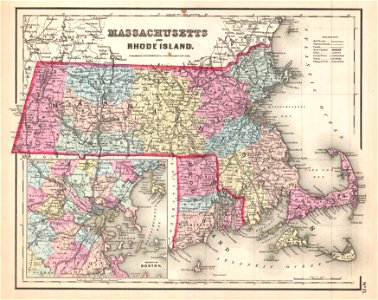
maps by joseph hutchins colton
1857 maps of massachusetts
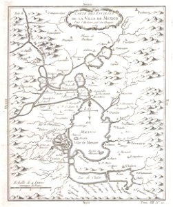
old maps of mexico
mexico
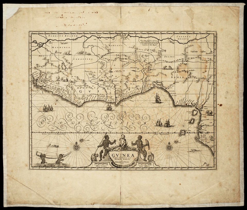
maps made in the 17th century
maps by pieter schenk (i)
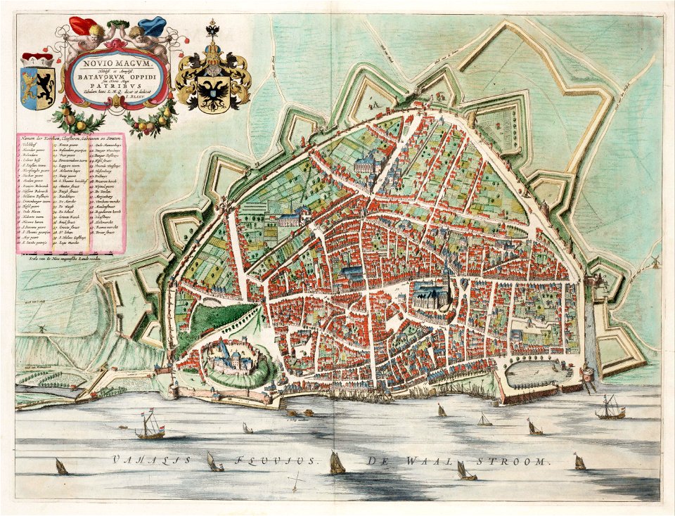
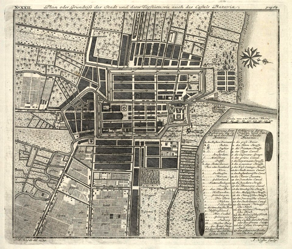
kota tua
batavia
maps by pieter schenk (i)
gerard valck
maps made in the 17th century
maps by nicolaes visscher i
maps made in the 17th century
maps by nicolaes visscher i
maps made in the 17th century
maps by nicolaes visscher i
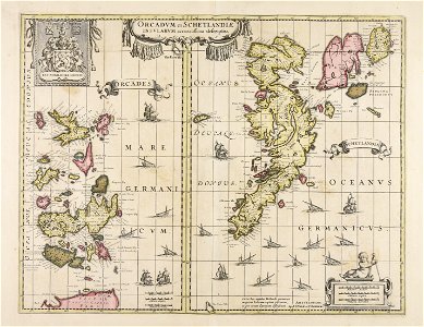
maps with cartouches
atlas van der hagen
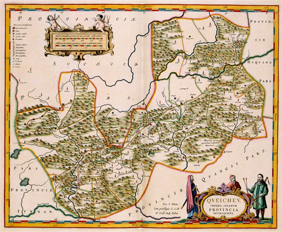
17th-century maps of china
guizhou
old maps of hesdin
old maps of france
maps with cartouches
vercelli
maps with cartouches
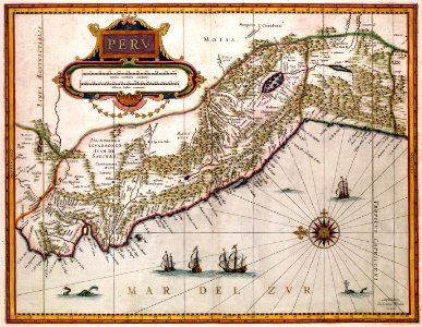
old maps of peru
johann baptist homann
latin-language maps
maps made in the 17th century
maps by nicolaes visscher i
hatched coats of arms
atlantic ocean
dutch-language maps
johannes ratelband
old maps of the carolingian empire
old maps of europe
maps by nicolaes visscher i
old maps of greece
maps made in the 17th century
old maps of gelderland
1760s etchings
1760 maps
atlantis magni tomus quintus (biblioteca comunale di trento)
maps made in the 18th century
maps by nicolas sanson
northern michigan
maps made in the 18th century
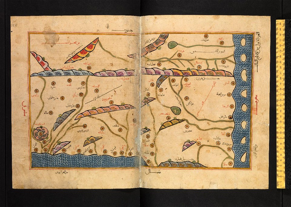
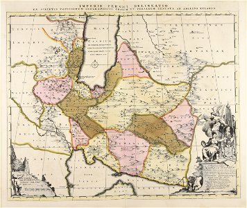
old maps of iran
the northern hemisphere of the celestial globe by albrecht dürer
old celestial maps
maps made in the 17th century
maps by nicolaes visscher i
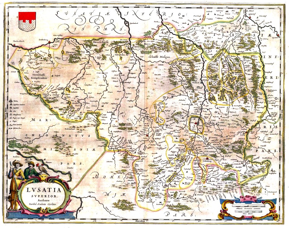
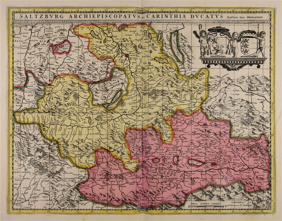
upper lusatia
kwisa
images from the new york public library
old maps of the tsardom of russia
maps made in the 17th century
maps by nicolaes visscher i
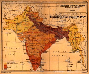
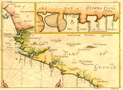
old maps of the indian subcontinent
1909 maps of india
fonds ancely - bibliothèque municipale de toulouse - maps
robert batty (artist)
burg meersburg
pencil drawing
johannes kip
1732 maps
maps made in the 18th century
old maps of flanders
files from the bodleian libraries
maps of tartary
maps made in the 18th century
old maps of saxony
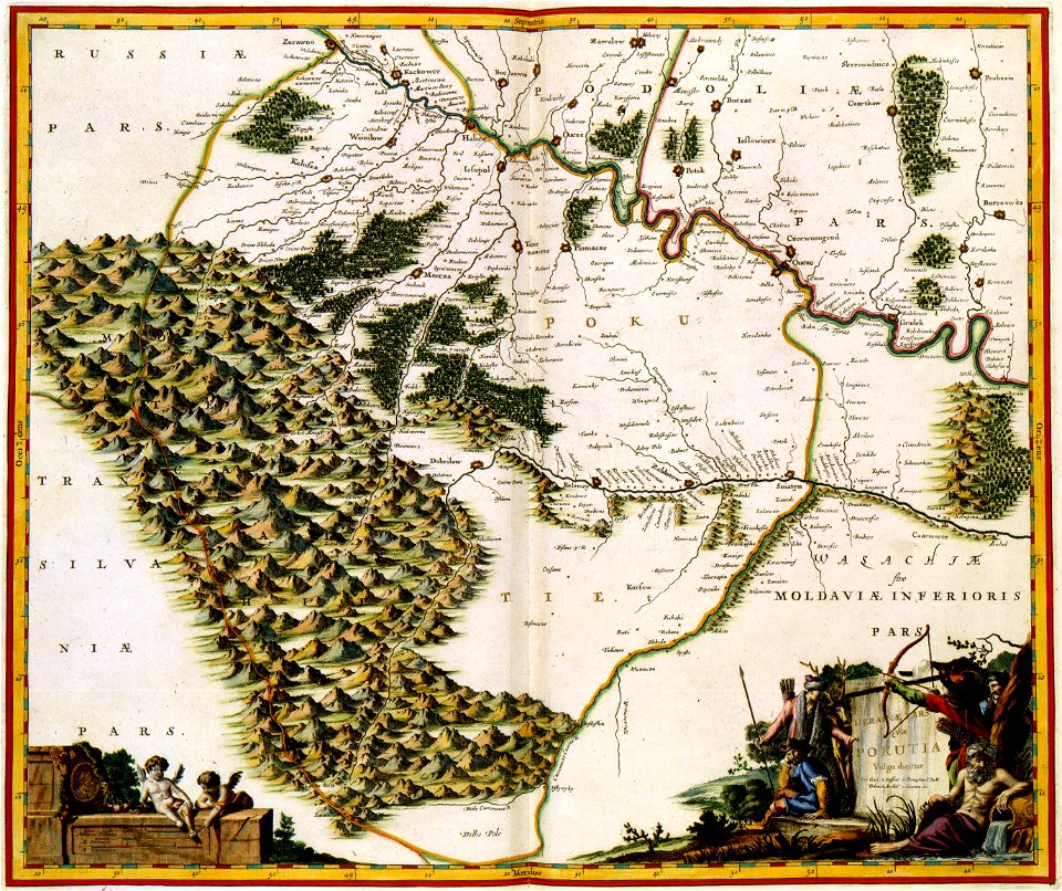
maps of kamianets-podilskyi
nicolas de fer
old maps of the history of hungary
old maps of the ottoman empire
maps made in the 17th century
old maps of westphalia
maps made in the 17th century
maps by pieter schenk (i)
maps made in the 17th century
maps by nicolaes visscher i
maps made in the 17th century
maps by nicolaes visscher i
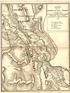
old maps of vietnam
1899
copper engraving
beavers in art
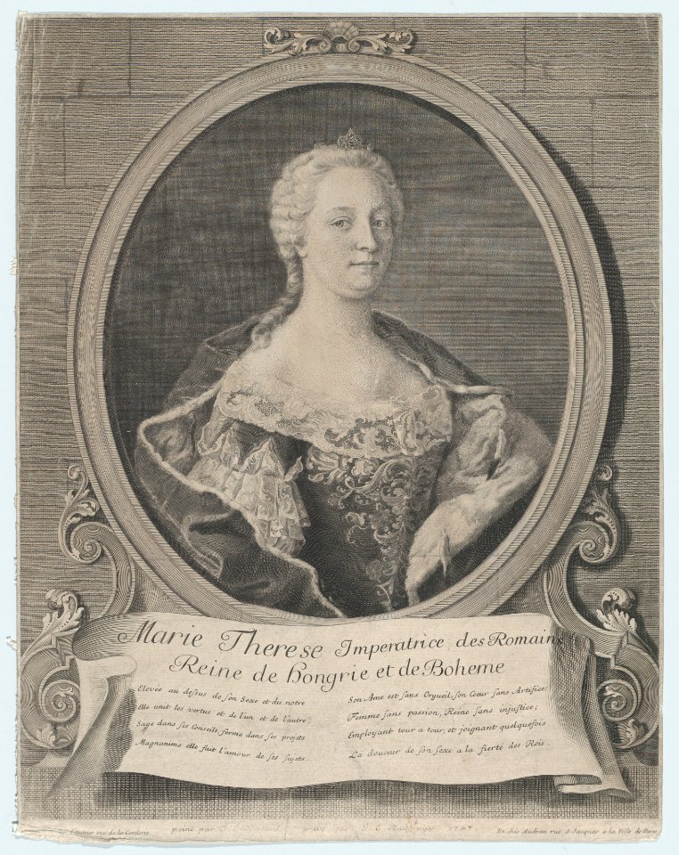
18th-century engraved oval portraits of women at half length
artworks without wikidata item
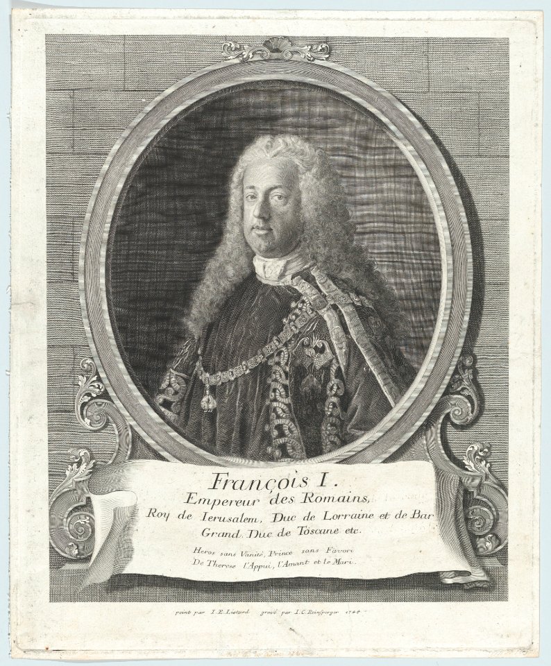
18th-century engraved oval portraits of men at half length
artworks without wikidata item
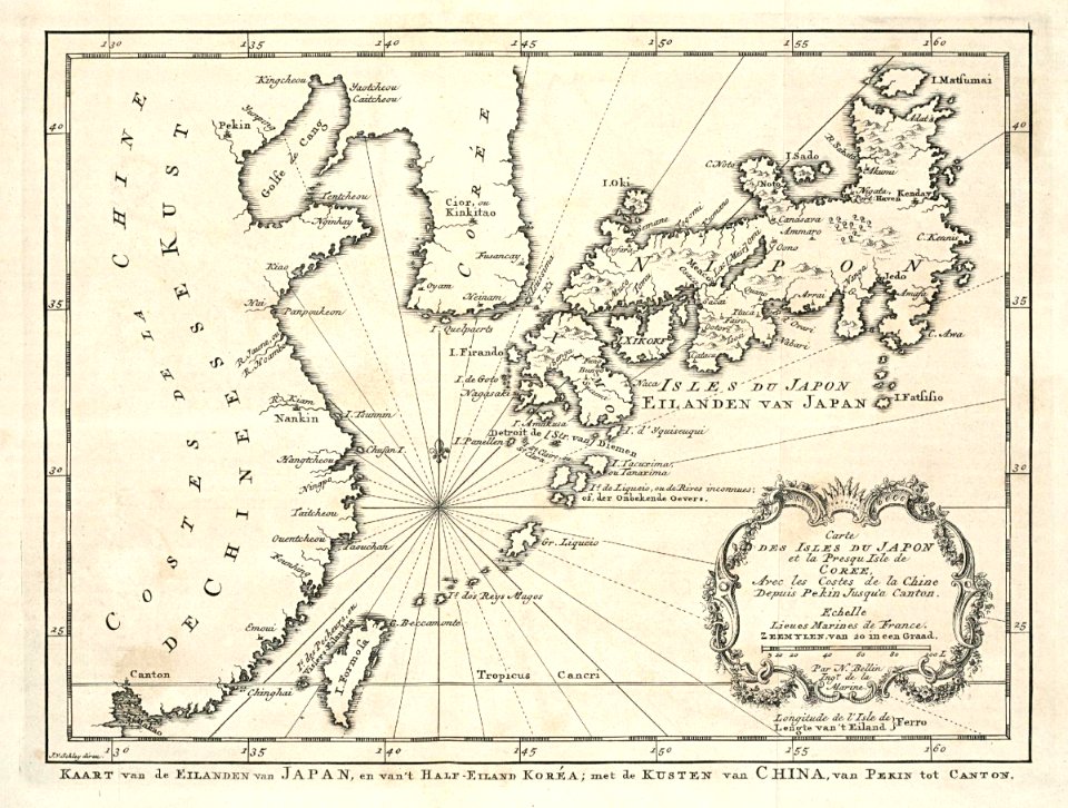
maps of the dutch east india company - japan
1747)
maps made in the 17th century
gerard valck
maps made in the 17th century
gerard valck
copper engraving
berlin
18th-century engraved oval portraits of men at half length
gérard edelinck
icones principum virorum
anthony van dyck
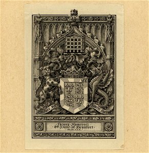
somerset (duke of beaufort) arms
duke of beaufort
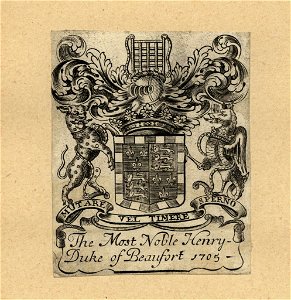
somerset (duke of beaufort) arms
duke of beaufort
18th-century engraved oval portraits of men at bust length
18th-century unidentified engravers
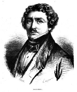
portraits of louis daguerre
1858
18th-century engraved portraits of men at bust length
1788 portraits
select views in greece with classical illustrations (1829)
engravings by william miller
5201 - 5300 of 40,209
Next page
/ 403